Prints (0)
-
No Prints Yet
Be the first to upload a Print for this Design!
Description
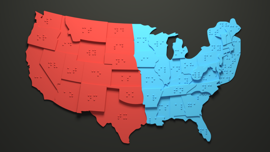
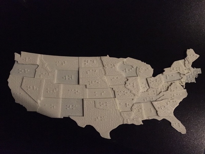
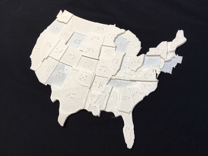
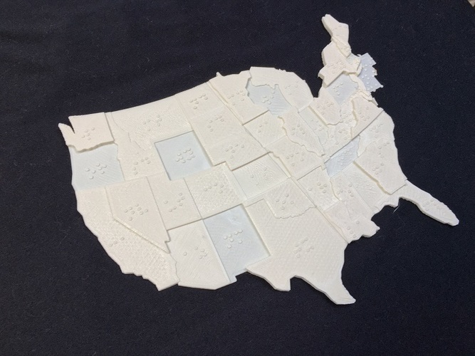
USA Braille Map: Now you can "Feel The World"
Overview
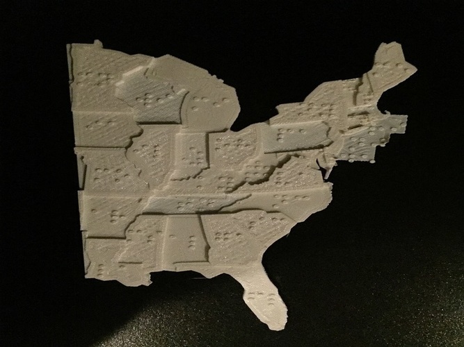
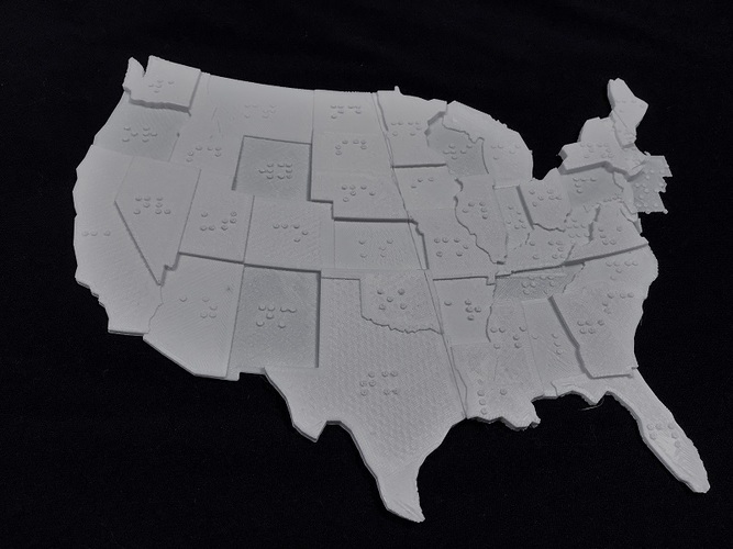
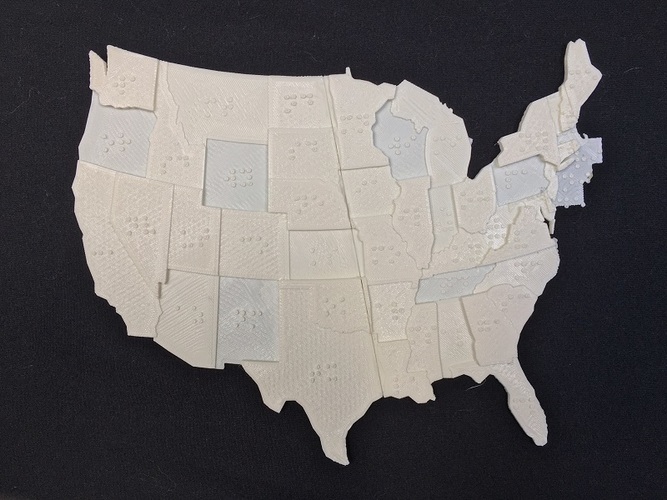
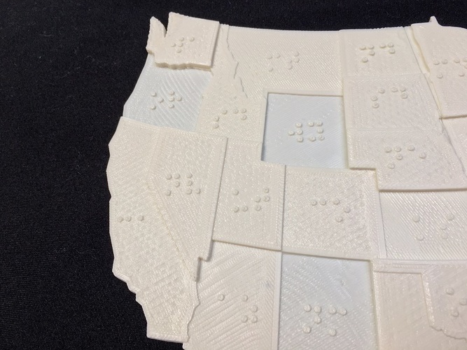
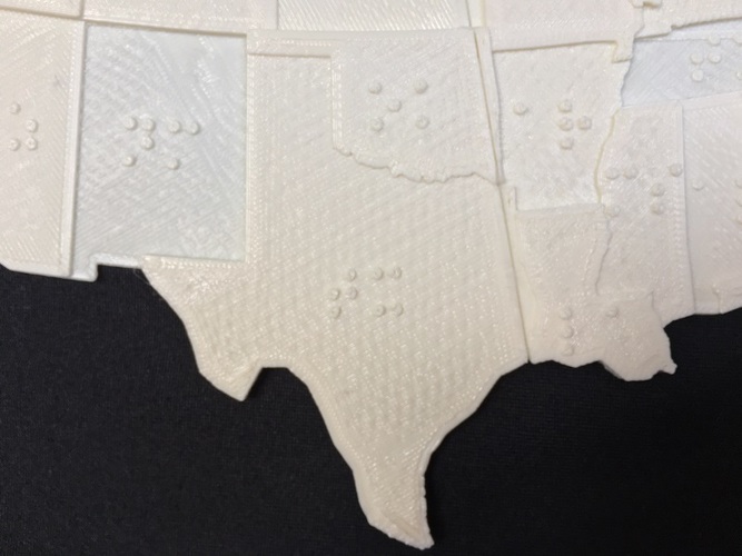
With the USA Braille Map the visually impaired can now comprehend the states in the USA. This tool can be used perfectly in the classroom for education study, or even people who want to have a new hobby. Each state has their two letter abbreviation in braille and every state border has different elevations so the user can get a better understanding of the territories for each state. As an 8th grader throughout middle school i have taken countless numbers of geography test. And some one who is visually impaired, should not be held back to have the same experiences and knowledge as anyone else. So what better way to achieve this with the power of 3D-printing, the opportunities it can offer to the visually impaired is astounding. In conclusion I feel that this tool can put a whole new aspect of learning with the visually impaired and will let them gain access to important information that is known everywhere all across America.
Design Process
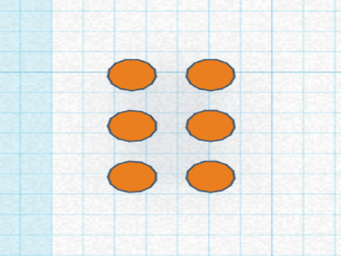
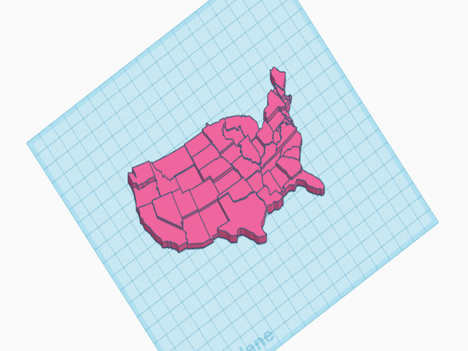
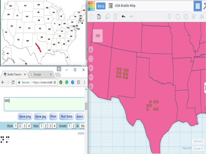
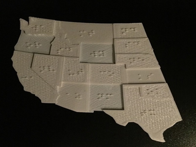
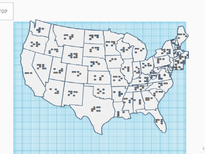
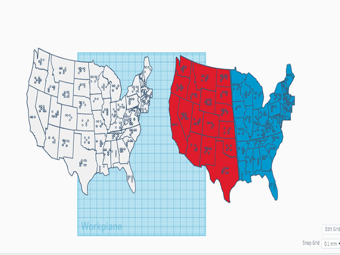
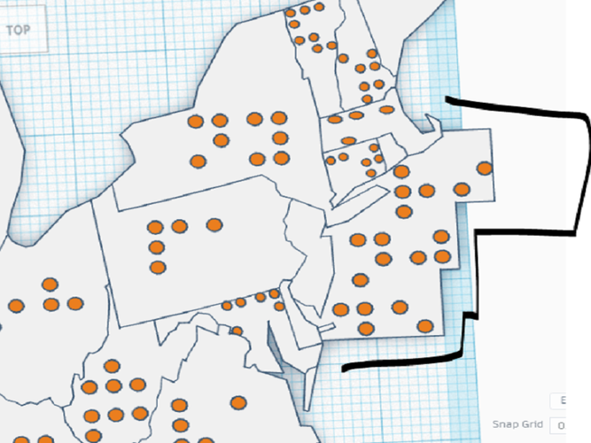
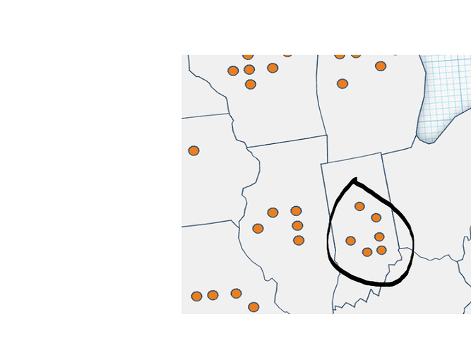
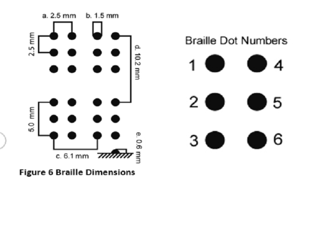
Creating this tool was a very tedious task but came with its rewards. Knowing what I took part in was an exuberant feeling and I feel very accomplished. I wanted to create an object that simple and easy to use for people of all ages. I included images of designing the map, and here I will go into more specifics. First, I made the blank USA map with different elevations by inputting the states different heights based off a colored territory map. Because I created this model as a STL I was not able to continue designing on a program such a 123D design due to the enormous amount of faces generated. So I used tinker cad- which surprisingly worked perfectly for my needs. I then followed the standard braille writing guidelines and created the braille with 1.5mm in diameter and 0.6-0.9mm in height. I then copied and pasted the braille template I made onto each state individually. I used a braille translator to write the correct braille that was appropriate for each state. When I started doing this on the east coast, I ran into some impediments. For instance, since there are some smaller states I needed to make the braille diagonally, or scale it down a little. For Rhode island, I made a side plate with the braille writing on it next to the desired states (this plate also includes two other states). Once I completed that process I realized that the map should be able to be printed bigger in order for an optimized experience. So I cut the map in half starting on the right of Texas all the way up to the right of North Dakota. That is why there are three files available for download. Before my final design I had made many other prototypes and started all over because it was either not neat or did not meet my expectations. Overall I really enjoyed designing this tool and being a part of an extraordinary community!
Printing
I printed this on the XYZ Davinci 1.0 using their proprietary white ABS filament.
You can print this with no supports, any layer height size, and I recommend a higher infill percentage. (25% and up) This allows for a sturdy model with a smooth flat top layer.
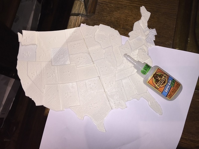
If you are printing the right side and left side separately then you can scale that to any size just do that percentage to both sides. But you can keep the overall height at 5.20mm in order to keep the original braille height. Once both sides are printed you can super glue the pieces together which is not a huge hassle. I used gorilla glue super gel, which worked perfectly. But any other adhesive should work fine.
Special thanks to Lulzbot, Matter hackers, and e-Nable (actually printed a Cyborg Beast for you guys!) for sponsoring this contest and of course Pinshape for running it and giving me this wonderful opportunity to explore the awesome capabilities 3D-printing offers.
I would greatly appreciate any feedback including comments, questions, complaints, or concerns. I really enjoyed this competition and wish everyone the best of luck! In the future I hope to make more designs like this that benefit others, and even make different continents with braille
Design is not available for download anymore! Sorry!
Comments