

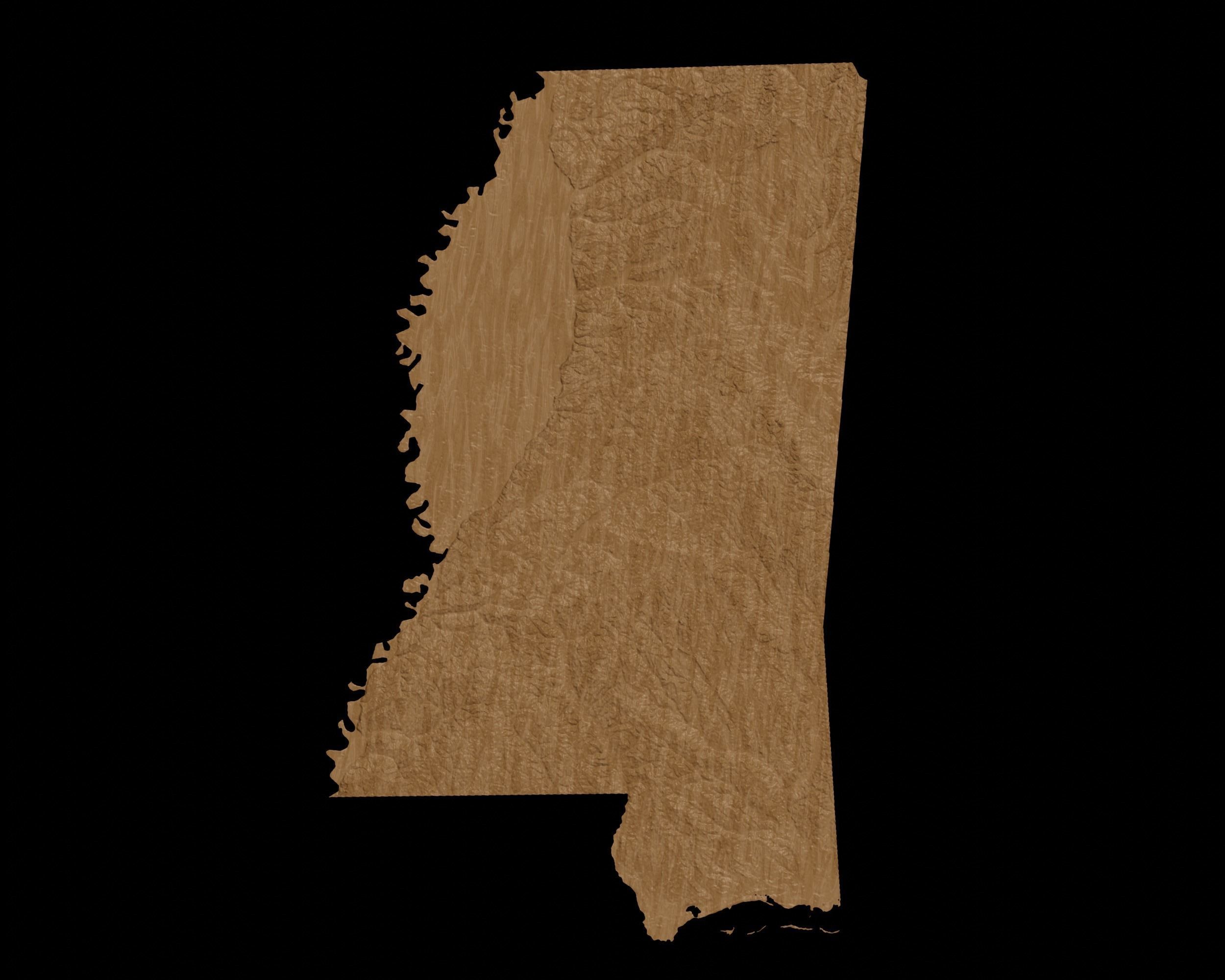
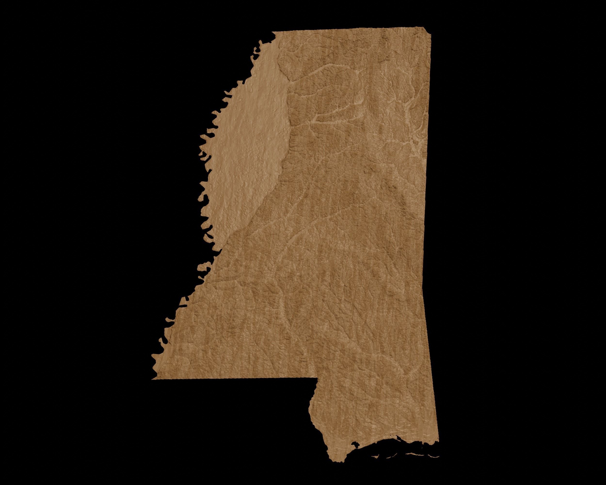
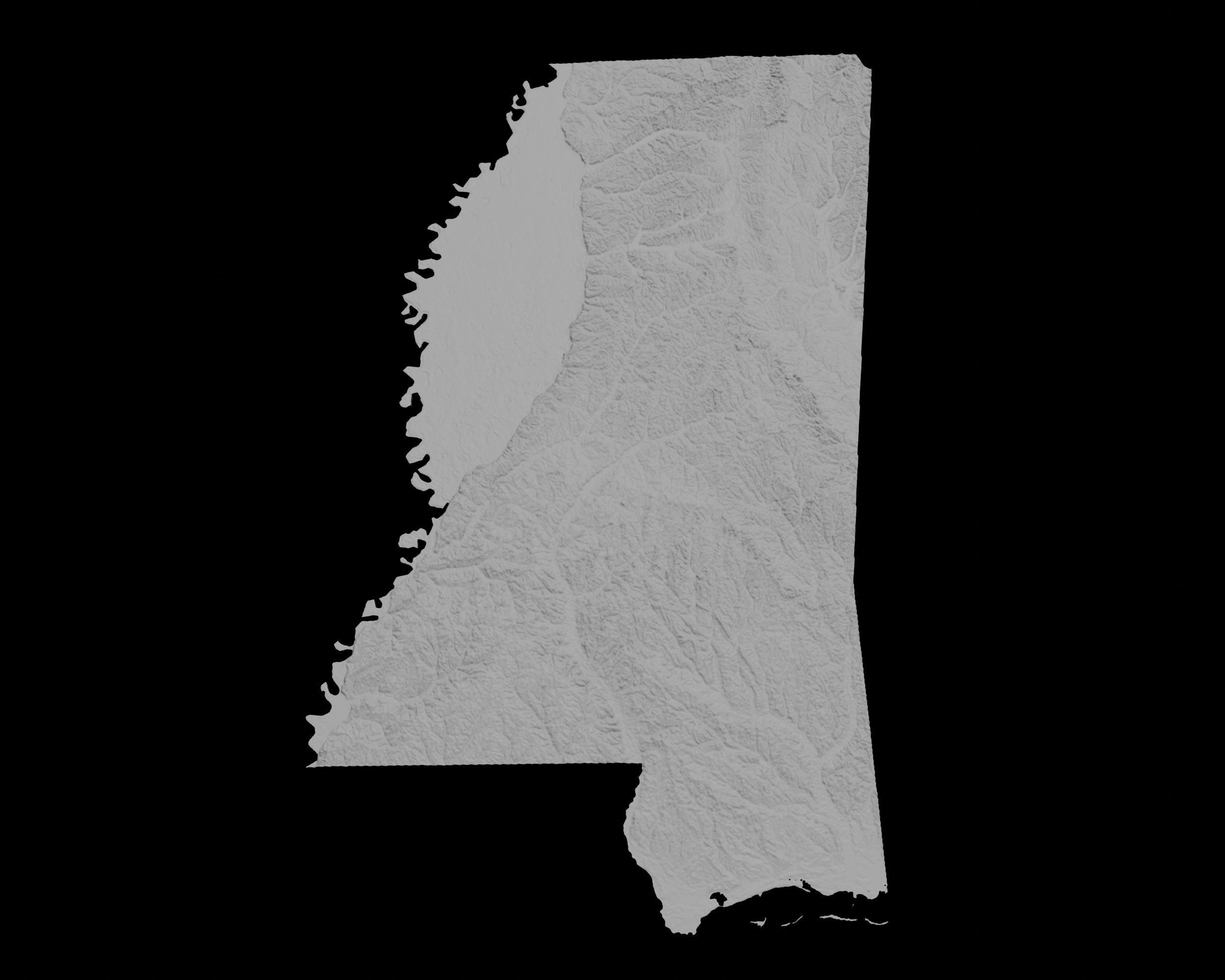
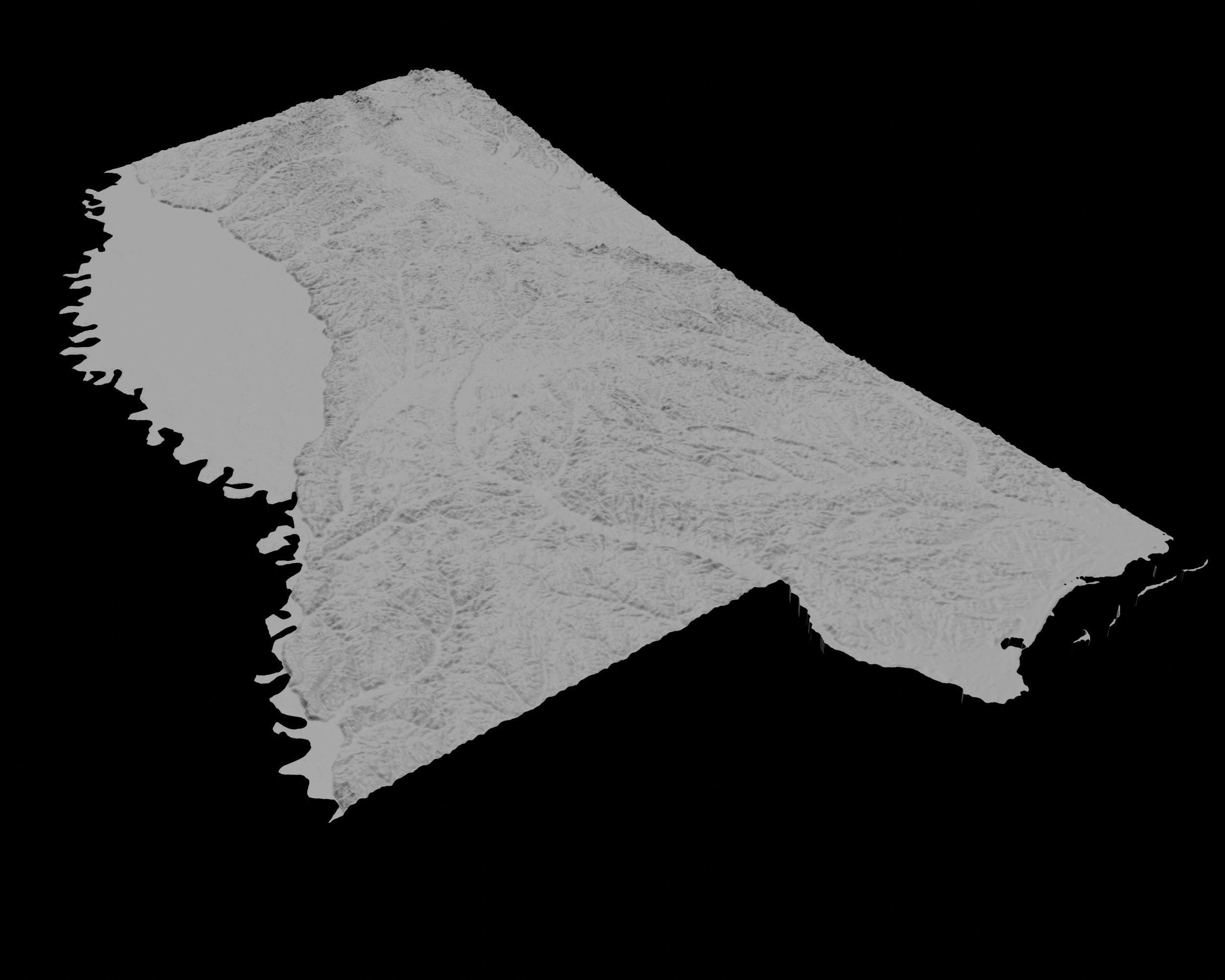

3D Topographical Map of Mississippi 3D print model
Introducing the stunningly detailed 3D model of Mississippi
This STL file is perfect for 3D printing enthusiasts, designers, and educators who are looking for an accurate and visually appealing representation of Mississippi.
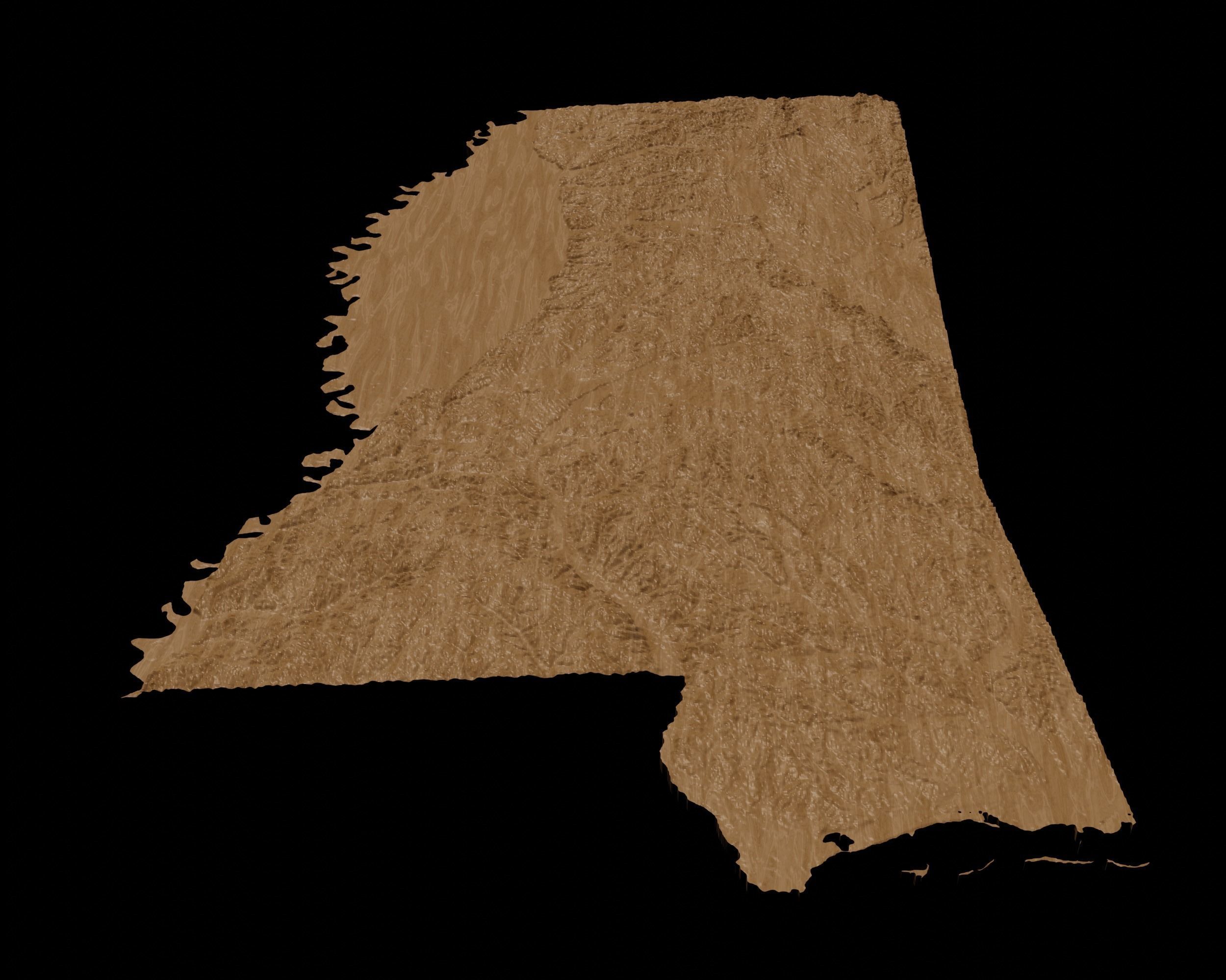
Crafted with meticulous attention to detail, this 3D model features plains, mountain ranges, and rivers, capturing the geography of the Mississippi in stunning 3D detail.
The model is optimized for 3D printing and can be easily scaled to fit your desired size. It's an ideal choice for creating visual aids for teaching geography, creating decorative pieces for your office or home, or even using it as a base for creating custom topographic maps.
This 3D model is compatible with a wide range of 3D printing software and is available for instant download on CGTrader.

Similar Models

